This is an update of progress on the project
Written by:

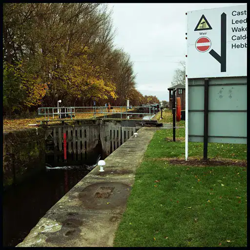
Five miles further along at Chapel Haddlesey, there is another huge weir that marks the tidal limit of the Aire’s estuary up from the Ouse. On my day here, it had rained again and high water met a high tide and you would never guess that there was a 20 foot vertical drop here.
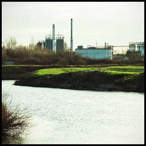
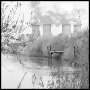
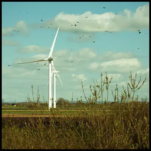
The flood wall continued. From here on, it protects low lying arable land from salt water flooding and provides the very few people who walk it with elevated views across the plains. The main feature is Drax Power Station and it began to dominate the landscape and the photographs.
The eastern reaches of the River Aire are worth experiencing. I’m certain that there is much more to say about technical river stuff, about ecology and morphology, pollution and hogweed. Except that I don’t want to. I am overwhelmed by the journey and these huge horizons and the flood wall’s monotony and the rhythm of walking.
I write this on my birthday. I started out near Malham on the same day a year ago. This day I drive to Airmyn to find the last Aire Mile where the River Aire joins the Ouse and the waters flow into the Humber and out to sea.

